Spring Icing surprise
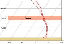
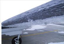
My first winter of cargo flying meant dealing with ice every night. With spring came a sigh of relief that I could finally relax a bit. Boy was that wrong. Instead, I learned that although the temperatures may be warming up, the threat of icing remains throughout much of spring.
Predicting Future IFR
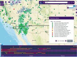
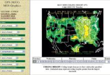
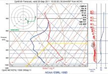
Sometimes the standard forecasts just arent enough. The area forecast (FA) and terminal forecasts (TAFs) are fine for anticipating the weather for the next day or so, but they simply dont extend out far enough in the future to tell you if IFR conditions might mess with your plans three days down the road.
Not believing your eyes
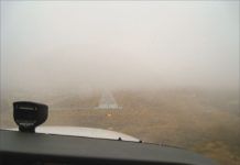
Whats the worst that should happen if that wide runway seems further away? Well, you could end up too high and go around or you could simply land long, risking an overrun. Embarrassing, to be sure, possibly with expensive damage, but seldom much worse than that.
Forecast-Wind Follies
If I were crowned king, my first decree would be to abolish the official winds and temperatures aloft forecast, also known as the FBWinds. Its an outdated product thats fraught with problems. The problems get compounded when pilots unknowingly misuse the forecast.
West Coast Fog Monster
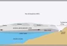
Fog along the West Coast of the United States has been documented as far back as the arrival of the Spaniards in the 16th...
Spring Dust Storms
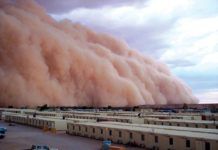
In March, 1933, Malcolm C. Harrison wrote in An Unusual Texas Duststorm, "Pilots were experiencing the same condition over North and Central Texas, all...
One Stop Web Weather?
At the AOPA Summit in October 2012 Lockheed Martin had a large and impressive display to announce the rollout of Flight Services (LMFS). Sigh…another...
Meteorology of Icing
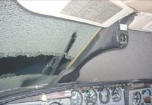
Icing is one of the most feared hazards of flight. In the extreme, the aircraft becomes enshrouded in a thick, solid mass that reduces lift and thrust as the twin effects of drag and gravity overcome our ability to maintain controlled flight. Not only is the shape of our airfoils changed, but ice accumulation dramatically increases drag, clogs pitot tubes, jams control surfaces, blocks undercarriage doors, obstructs engine intakes, and the final insult, covers the windshield. We may not even be aware of how extensive the ice is until a high angle of attack or unusual power settings are required. At this point premature and significant aging may instantly occur within the cockpit.
Knowing Known Ice
Transitioning to your first aircraft that has ice protection equipment beyond a heated pitot tube is a big step for a pilot. Having a full complement of ice protection usually gives pilots warm fuzzy feelings about being able to complete more trips and handle any ice related problems that arise. Unfortunately, the current regulations and guidance addressing icing can be just as complex as dealing with the nuances of in-flight icing encounters.
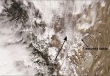
Chinook Winds
In 1892, E.B. Garriott wrote for the fledgling U.S. Weather Bureau, Following a period of intense cold the Chinook wind is a welcome visitor in the Northwest. The icy clutch of winter is loosened. The earth throws off its winding sheet of snow. Humanity ventures forth to inhale the balmy, spring-like air. Animate nature rejoices.
IFR Under Pressure
We're not talking about the anxiety of a slam-dunk vector. The subtleties of the mundane altimeter setting really matter—especially for IFR in the high...
Staying In One Piece
With sunny skies and calm winds, it's a surprise to reach cruise altitude and find a bumpy ride. Though computer modeling is beginning to...


