Weather Deconstructed
There’s an old Buddhist saying that the fool sees only the form, while the enlightened person sees the essence. It’s strange to think that...
Great Plains Weather
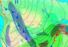
For some, flying is just braving the traffic pattern or short, local flights. But serious long-distance flying or commercial operations will eventually bring you...
An Icy ODP
Rime ice giving your Cessna 210 a quarter-inch coating was the inbound surprise to Mission Field in Livingston, Montana. As one accustomed to life...
How We Die, Part 2
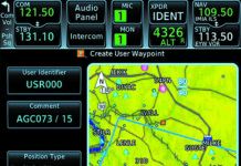
Too many pilots have died because they attempted instrument flight without a thorough working knowledge of their GPS navigators. Do you need to know...
No Two Alike
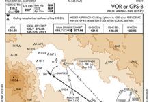
Maybe it’s because the long Midwestern winter is not yet over, but the idea that approach procedures are like snowflakes comes to mind. From...
How We Die, Part 1
(This is the first of a four-part series of articles in which contributing editor Fred Simonds will fully explore common, oft-fatal mistakes that we...
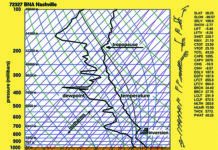
Skew-T Simplified
Skew-Ts aren’t the sort of thing you learn about in ground school, but I’m quite outspoken about how important they are to understanding the...
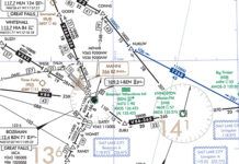
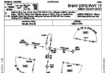
Choose a Shortcut
Things are getting busy approaching Trenton, Tennessee, Gibson County (KTGC), even though its not that bad. But the skies are grey enough to make you squint as you enter the overcast. Youve also entered, as youll soon find out, the murky realm of the regs. A cold crust of rime clings to the aluminum and probably the antennas, so youre anxious to get into that toasty hangar at TGC. Worse, the suns going down and the gyros acting up. So any shortcuts (safe and legal, of course) would be great right about now.
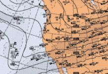
Winter in the West
During low index patterns, these frontal systems can be quite deep, even extending into southern California, producing cold-core lows and showery weather. This also tends to allow moisture to circumvent the Sierra Nevadas through the Mojave Desert into the Great Basin, causing snowstorms eastward into Utah. These deep storm systems are particularly favored during El Nio years (the pattern this winter is neither El Nio nor La Nia), but they can occur in any season and theyll definitely have impacts on your flying plans.
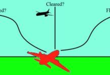
Filed vs. Cleared vs. Flown
Every instrument pilot should understand the process of filing, getting a clearance, and then flying an IFR flight plan. But why does it occasionally seem that ATC makes things complicated? Say you've filed a straightforward Point A to B then C. But then you're cleared from Point A to B then to X, Y, Z, and only finally to Point C. Why are these extra fixes in the flight plan? Where did they come from? Why this today instead of an intermediate RNAV fix that you usually get?
Any Ol Alternate
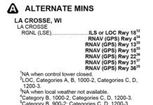
Pop quiz: When must you file an alternate? Thats an easy one, we all know the rule about needing 2000-3 one hour before and after the ETA. Next question: When do you file an alternate? Probably the most common answer is, I always file an alternate. Fair enough, its never a bad idea. Now, regulations aside, why do you file an alternate? Naturally the response is: In the event the weathers gone down too low at the destination and we need somewhere else to go. Right up there is an unexpected loss of equipment or a navaid required for an approach. And while the regs are also designed to provide a backup for lost communications, this often serves as a distant third, cause these days were just not all that worried about that.
Weather Models
Since this is the first issue of IFR Magazine in the 2020s, its fitting that we stop and look at how far weve come with computer forecast models. Theyve made a huge impact on aviation forecasting. If you just take the single-engine up for an hour on the weekend, you probably dont have much need for the weather models, but if you do any sort of regular cross-country flying, chances are youve run across at least some of them.

