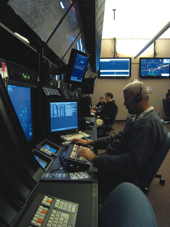
Controllers have some tools right at their scopes that most pilots don’t know about. By typing one of the following commands and clicking on an aircraft’s target, the scope will highlight the nearest airport to the aircraft within a certain criteria, and give me a range and bearing to it:
*1 — Nearest airport, regardless of runway length.
*2 — Nearest airport; runway of at least 4000 feet.
*3 — Nearest airport; runway at least 6000 feet.
The scope will also read out the airport’s identifier, name, runway width and surface type (asphalt, grass), and the advisory frequency.
Each facility also has material on their Information Dissemination System (IDS) or in hard copy. Every ATC facility has their own equipment, displays, etc., and some IDS pages are created by the same controllers that use them. Here are some of the things facilities often have:
Airport Diagrams for local major airports
NOTAMs for equipment or frequency outages
Approach plates
Frequencies for VORs and other navaids
Phone numbers for the FBOs and management at local uncontrolled fields so we can call them to see if an aircraft landed safely—or roll emergency equipment
Phone numbers for local police or fire dept.


