
With lots of affordable rural land, an abundance of Class E airspace, and plenty of VMC weather, it goes without saying that a thriving aviation community exists in the southern United States. Texas, Oklahoma, Arkansas, and Louisiana are home to almost 87,000 pilots and countless airshows and fly-ins, and the region is of course headquarters for Southwest and American Airlines. I find myself surprised that we haven’t yet written a special weather article for this region.
If you call this area home, you’ll find this article to be an interesting perspective and a good refresher by a Texas aviation forecaster. Those of you in other parts of the country will find it to be a valuable guide to dodging unexpected hazards should your cross-country travels bring you out this way. And for pilots in the Southeast states, keep it right here on this channel as many of the concepts described here apply to you as well.
Essentials
Before we dive into fronts, thunderstorms, and winter weather, it’s important we talk a bit about the geography of the region, because weather is strongly controlled by oceans and terrain. Every single day, we meteorologists endlessly ponder the role of the Gulf, the Rockies, and the High Plains in our forecasts. Skipping over this topic is probably the same sort of sacrilege as skipping the four forces of flight in ground school, but fortunately we can keep it short and not raise the ire of the weather gods.
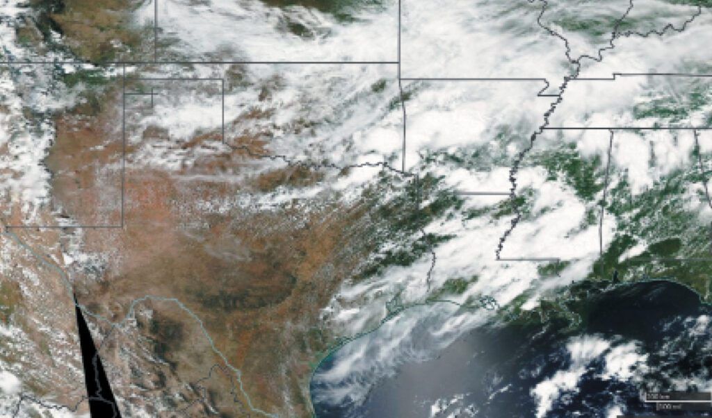
In the South, the single most significant influence on weather is the Gulf of Mexico. This is a vast source of warm air and moisture. Typical water temperatures in the Gulf range from the 70s and 80s during the summer to the 60s and 70s in winter. Even during the strongest arctic outbreaks, these water temperatures hold firm no lower than the 50s. As evaporation rate is proportional to temperature, this makes the Gulf a tremendous source of atmospheric moisture. Enough moisture evaporates from the Gulf each day to cover a city like Houston in nine feet of rainwater, were it all to fall in that one area at once! Fortunately that’s not something we need to worry about, though anyone who endured Tropical Storm Allison in 2001 might take exception.
And of course, the terrain slopes up and to the west, ascending from near sea level at Houston and New Orleans, to 500 feet in Austin, Dallas, and Little Rock, and on up to 3500 feet in Lubbock and Amarillo. Go further west in New Mexico to Las Vegas and Clines Corner and you’re up at 7000 feet. And then you reach the Rocky Mountains. Any Gulf moisture that makes this long trek stands a good chance of condensing and producing clouds and weather.
The Rockies, the Southwest Deserts, and the Great Basin regions are not only a source of dry continental air, but are also where storm tracks originate during the winter. The Rockies and the higher terrain definitely conspire to make meteorology quite interesting and challenging, much more so than in the flat regions of the Midwest.
The Warm Season
Summer is a great place to start exploring the weather in the South. The average weather pattern brings quiet, predictable weather. The days are dominated by sunshine, south winds, heat, and mosquitoes. Pressure gradients are controlled by two main factors: the Bermuda High to the east, and pressure falls due to strong heating in the High Plains, West Texas, and the Desert Southwest. This creates a prevailing southerly gradient where winds have a persistent south or southeast direction.
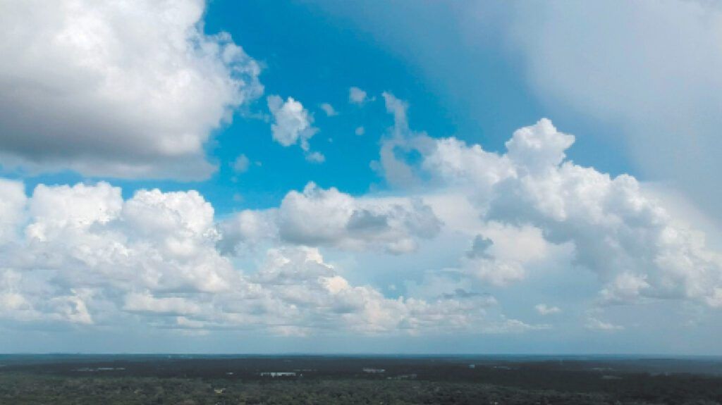
A typical morning starts out either clear or with scattered-to-broken stratus layers at about 1500 feet. These quickly lift and convert to cumulus, which rises to 3000 feet by late morning and to 5000 feet by afternoon. As nighttime approaches, these cumulus clouds dissipate or spread into scattered altocumulus layers at 5000 to 10,000 feet, and the cycle begins anew.
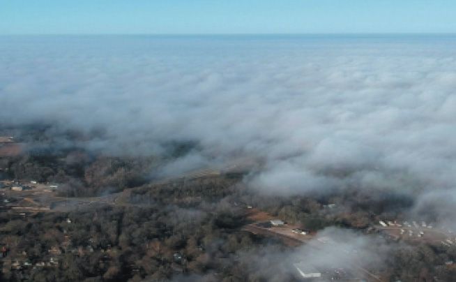
Radiation fog isn’t very common in summer but it does happen wherever there’s precipitation and a clear night with light winds. But stratus is a much more significant problem. The Gulf is the primary source of stratus that develops whenever there’s strong southerly flow, unusually high moisture content in the atmosphere, or when any sort of organized upper-level lift exists in the southern region. A significant onshore flow component on the weather charts is a good warning sign that morning ceilings may be a factor.
Louisiana, Arkansas, and southeast Texas are especially prone to Gulf stratus problems. Summer mornings are dominated by IFR or MVFR ceilings which gradually lift and break up during the morning as strong solar heating takes hold. But on most mornings, if your airfield is below mins, a short wait is often all it takes.
Summer Storms
The storms we see in the South can be divided into three main categories: High Plains storms in west Texas and New Mexico, “air mass” storms along stagnant boundaries, and sea breeze storms.
High Plains storms tend to develop in the strong desert heating in eastern New Mexico, aided by upslope flow as humid Gulf moisture climbs almost a mile to higher elevations. The storms here occur mostly towards dusk, and are high-based. They often drift into West Texas and the Panhandles. They don’t produce much rain, but strong microburst winds and landspouts are common. These storms quickly die off after dark.
The so-called “air mass” storms form whenever boundaries from the Central Plains or the Corn Belt are pushed into the South, making it a sort of dumping ground. Often such fronts are accompanied by upper troughing, which cools the upper troposphere and makes the atmosphere unstable. The boundaries provide a zone of lift for the Gulf moisture, and more thunderstorms produce more boundaries, causing a sort of chain reaction over a period of many days. Storms are usually weak and disorganized, dying off by sunset, but at times they will organize upscale into large clusters of storms or monsoon-like showers that persist well into the night, especially when they develop in Oklahoma and Arkansas where the dynamics are a little stronger.
Finally there are sea breeze storms, which develop whenever there is a combination of a strong onshore wind component and instability, usually from upper-level troughing. Storms form along a sea breeze parallel to the coast, often from Houston to New Orleans, and build northward as the sea breeze advances inland, with rapid clearing in its wake. During July and August, the peak of sea breeze season, the sea breeze can reach Austin, Longview, and Shreveport by late afternoon and even Dallas by dusk. These storms are usually weak but carry an elevated risk of microburst activity.
Summer thunderstorms are generally regarded as a nuisance, but we only need to look at the lessons of Delta Flight 191, which occurred at DFW Airport in August 1985, and Pan Am Flight 759, a crash in New Orleans in July 1982. A good tip for flying in the south is to be especially wary when jet stream winds take on a northerly component in the summer, and skies above 10,000 feet look especially blue and crisp with excellent visibility. This suggests the presence of dry air in the middle and upper troposphere. If storms develop, there will be heightened potential for strong downdrafts and microbursts.
The Cold Season
Weather in the South remains heavily influenced by the Gulf of Mexico, and the prevailing wind still remains southerly. However, two new factors take hold: the jet stream and the southward expansion of the polar front.
Upper-level winds during the summer are light and variable on average, with a weak southerly flow in the Panhandles, Oklahoma, and Arkansas. But as we move into the transition seasons, the mass of polar air in the arctic region expands, driving fronts and jet streams southward. This puts the region under the influence of the prevailing westerlies, which opens up the storm track from the west. By October, Pacific weather systems begin arriving in the South with great regularity, sucking Gulf moisture northward in advance, then pumping cold Canadian air southward in their wake, driven by high pressure. This cycle alternates every four to seven days.
These fronts for the most part just bring clouds, temporary low ceilings, and a wind shift. But strong winds can follow in the wake of these fronts, raising wind gusts over 60 knots in West Texas and the Panhandles. Especially strong fronts can lift dust from dry fields in the Panhandles, especially in January and February when cotton fields have been plowed over for the winter. When it happens, this dust rises to altitudes of 10 to 15,000 feet and often reaches Oklahoma and Dallas later in the afternoon.
Winter Storms
Between late November and early March, arctic outbreaks occasionally arrive, driven directly southward from Canada. Normally these push into the Gulf with rapid clearing. If the upper-level flow is driven by a southwesterly jet, pressure falls develop in New Mexico producing an “overrunning” pattern in Texas and Oklahoma. Gulf moisture flows up and over the cold air mass and is dynamically lifted, creating IFR or MVFR overcasts.
Closer to the ground, easterly upslope flow develops in the lowest 3000 feet of the atmosphere, and as this lift is forced by the ascending terrain, the air mass here cools and condenses, creating extensive low stratus and fog. In the overrunning layer, deep layers of nimbostratus and precipitation develop. If the arctic air is cold enough, this precipitation may consist of freezing rain, sleet, or snow.
The lesson here is to be on guard when jet stream winds are southwesterly and cold fronts are moving into the South, as these overrunning and upslope patterns are associated with most winter storms in the region. The threat persists as long as winds below 10,000 feet have a southerly or easterly component and upper-level flow remains southwesterly. Once any surface lows or troughs have moved to the east and the wind flow takes on a northerly component at all levels, you can expect an end to the precipitation and a change to VMC.
The Transition Seasons
Spring and autumn are considered last, because they bring all of the elements of both summer and winter together. Heat waves, Gulf moisture, hurricanes, winter storms, and blizzard conditions are all possibilities. Which set of conditions we get depends on the exact month and how cold or warm the air masses are.
Because spring and autumn both provide access to cold Canadian outbreaks and warm tropical air masses, this is when some of the strongest air mass contrasts develop. As with any heat-based engine, frontal weather systems are powered by temperature contrasts. Increase the contrast, and the system gets stronger. March and April tend to bring some of the deepest systems possible to Texas and Oklahoma, with altimeter settings falling to 29.20 inches or lower in the Panhandles.
These deep surface lows bring large fetches of dry air out of the Mexican Altiplano and Desert Southwest regions, and also large fetches of moist air out of the Gulf of Mexico and Caribbean. A low-level jet, often abbreviated “LLJ,” usually develops in this moist air, flowing from south to north. It is strongest at night at altitudes of 2000 to 5000 feet AGL, and a textbook axis is from Corpus Christi to Fort Worth to Oklahoma City. It’s often accompanied by thick MVFR ceilings, mechanical turbulence, and layers of shear below 5000 feet. The low-level jet is a key ingredient in transporting tropical moisture north ahead of developing weather systems, and is augmented by jet stream dynamics.
The dry air from the southwest regions moves into the Great Plains and produces a temporary front along the leading edge known as the “dryline.” This separates the dry desert air from moist Gulf air. During the afternoon, dryline storms often develop. Tornadoes and large hail are possible. The dryline is not a trigger for these storms, as popular news media sources often suggest, but rather it’s the optimal location where Gulf moisture can get onto high terrain and get close to strong dynamics in the Rockies. Here the air mass can overcome problems like the capping inversion, which suppresses storms further east and south, and convection can more easily develop.
The dryline almost never moves east of Texas or Oklahoma because it’s quickly destroyed as these deep surface lows move eastward into the lower plains and cold Canadian air sweeps into the circulation. The dry desert air is simply displaced aloft and replaced with colder air from the poles. But once the atmosphere warms and Gulf moisture flows back north, the dryline redevelops once again.
Tim Vasquez is a longtime resident of Texas. He forecasted for the 7th Bomb Wing’s B-1B fleet and wrote TAFs at Dyess AFB, and chased storms in Texas and Oklahoma. He provides current weather briefings twice a week on his Forecast Lab channel on YouTube.


